Rain and cooler weather to return by week’s end
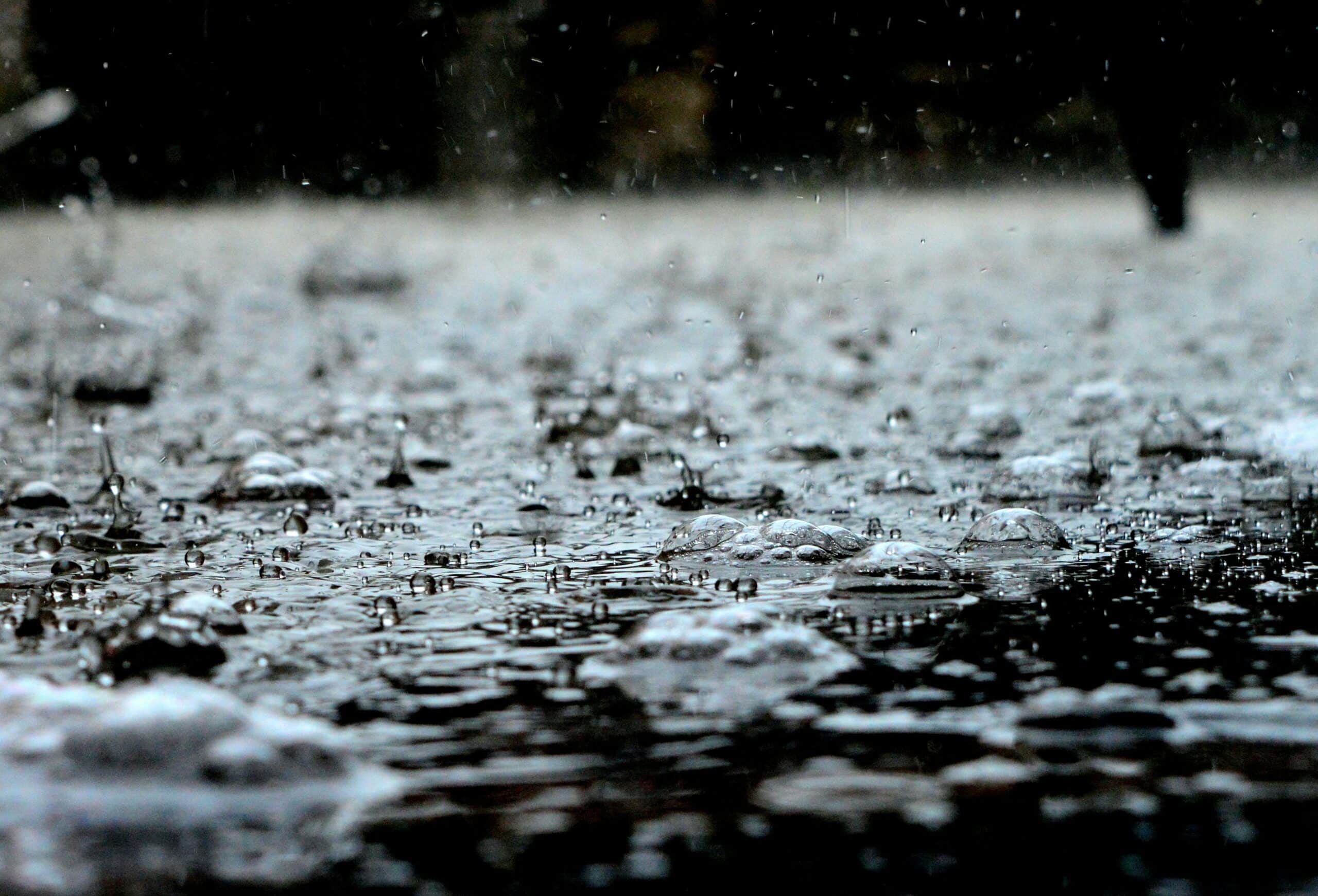
Rain is on its way back to mainland Portugal starting Thursday, along with a noticeable drop in temperatures, according to the Portuguese Sea and Atmosphere Institute (IPMA).
IPMA meteorologist Maria João Frada predicts a cooldown of 4ºC to 8ºC by the end of the week, especially on Friday. Alongside the rain, there will also be dust in the air, with particles blowing in from North Africa, especially across the south and centre of the country.
Skies are turning cloudier today, Frada told Lusa news agency, while a small chance of scattered rainfall is expected in some parts of the country, albeit more likely starting tomorrow in the south during the early morning, then gradually moving northward. Meanwhile, the north of Portugal will see the least rain, at least to start with.
Friday will bring more widespread rain and thunderstorms, which could last through the weekend. The weather shift is linked to a depression system – currently off the coast of Madeira – that’s drifting southeast, Frada says. Named Olivier by Spain’s meteorological agency (AEMET) due to its impact on the Canaries, it may swing closer to the Portuguese mainland, though forecasts remain uncertain.
Meanwhile, Portugal’s warmer weather won’t last much longer. After a stretch of above-average temperatures – hitting 28 to 30 degrees in some areas – a major drop is expected.
IPMA is predicting drops of 6 to 8 degrees across the country, with inland regions settling between 22ºC and 24ºC, with coastal areas slightly warmer earlier in the week before cooling.