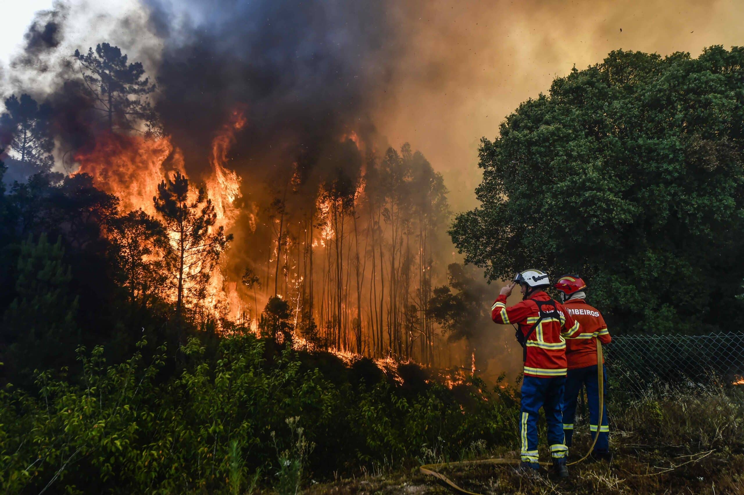
Notifications are overlaid on Google Maps driving directions, indicating whether route directions may have forest fires nearby.
Google announced today that it is extending its forest fire mapping tool, based on artificial intelligence (AI) technology, to 15 new countries in Europe and Africa, including Portugal.
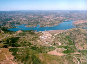
According to estimates, Europe’s fire-prone territory has doubled in the last 50 years, said Yossi Matias, vice president and head of Google Research, in a post on the Google Portugal blog.
By using AI, he explained, Google has been able to show detailed monitoring of forest fires in Search and Maps. Now, with record temperatures during the summer, this tool is being expanded to 15 countries in Europe and Africa, including Portugal.
Andorra, Bosnia and Herzegovina, Croatia, Cyprus, France, Greece, Italy, Kenya, Monaco, Montenegro, Rwanda, Slovenia, Spain and Turkey are the other 14 countries where the forest fire boundaries monitoring tool is being launched.
The forest fire boundary maps were already available in the US, Australia, Brazil, Argentina, Chile and Mexico.
Matias said that Google is making this information available through alerts and resources that give people close to a forest fire information on how to stay safe. He noted that the forest fire monitoring model powered by Google’s AI is trained on multiple data sources, including various satellite image datasets.
“In addition, Google has validated our wildfire monitoring model by comparing it to our own model of fire scars – shapes that appear after a fire is contained – based on measurements from previous wildfire events. Other AI models are used to verify the existence of fires, and all of this together makes it possible to define forest fire boundaries more precisely and definitively than with satellite images alone”, he explained.
By implementing this new capability over the summer, Google mapped more than 40 forest fires in Southern Europe, including fires in Spain, Greece and Cyprus last June, and other fires from Portugal to Kenya.
In other words, it showed these forest fire boundaries on Search and Maps and provided local information via notifications – a tool designed to complement existing local efforts to help people access information and stay safe.
“After the start of the forest fires in Europe and Africa, in the first week of July alone, around 1.4 million people saw our forest fire notifications”, emphasised Matias.
The notifications are based on the user’s settings and preferred language, offering travellers during the tourist season ways to receive local and timely information in their language about forest fires, according to Google.
These notifications are overlaid on Google Maps driving directions, indicating to travellers whether their route directions may have forest fires nearby.
“This feature is being rolled out in countries affected by forest fires in recent summers and based on the quality of our modelling in each country. As the models evolve, Google hopes to expand to more countries and continue to share critical information with people when it’s really needed”, he concluded.
LUSA