Gettysburg and Ormonde seamounts are “highest mountains in western Europe”
A scientific expedition surveying the biodiversity of two of the peaks of Portugal’s largest underwater mountain, the Gorringe Bank, since September 7 has entered its final week of work.
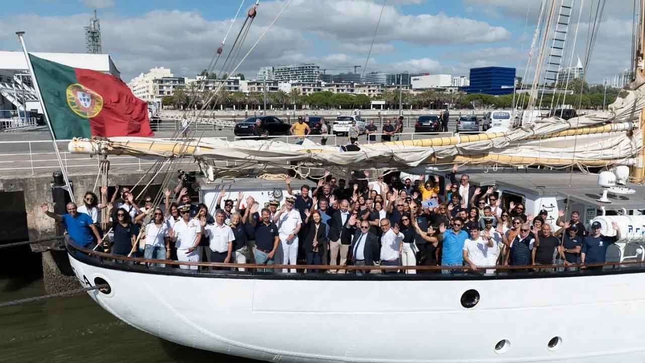
The expedition brings together an international team of around 30 scientists – most of them working aboard a three-ship fleet with the former cod ship Santa Maria Manuela as its flagship – and is collecting data on the health and biodiversity of the oceanic habitat created by the Gettysburg and Ormonde peaks of the Gorringe Bank.
This data will result in a scientific report, due to be published in the first quarter of 2025, to support the management of that area. Since 2015, it has been a marine protected area of the Natura 2000 network but requires more robust protection, writes Lusa.
The work underway, from the Santa Maria Manuela and the private catamarans ‘Feel Good’ and ‘Oceanus II’, includes filming and photographic records, dives to varying depths to collect samples, the use of drones, an underwater video camera system to capture images of animals in their natural habitat without human presence, and a remotely controlled underwater vehicle to observe deeper areas.
The Gettysburg and Ormonde seamounts – although submerged and rising from depths of around 5,000 metres – are higher than Pico (in the Azores) and the mountains in Serra da Estrela combined, and are the highest mountains in western Europe. They are highly biodiverse ecosystems, with habitats ranging from kelp forests near the surface to cold-water coral reefs at great depths.
Considered ‘oceanic oases’, where more than 800 species have been identified, in addition to benthic flora and fauna (associated with the seabottom), the peaks of the Gorringe bank also attract a wide variety of pelagic fauna (which live in open water), including marine mammals such as dolphins and whales, turtles and seabirds.
The scientific campaign – promoted by the Oceano Azul Foundation, Oceanário de Lisboa, the Institute for Nature Conservation and Forests (ICNF) and the Portuguese Navy – is an effort to boost Portugal’s path towards fulfilling the European strategy of having at least 30% of its ocean protected by 2030, with at least 10% with strict protection.
Emanuel Gonçalves, the expedition’s coordinator and director of the Oceano Azul Foundation, said at the time of the scientists’ departure for the Gorringe bank that they were taking “an X-ray of the state of the ocean’s health” in an area of great biological wealth and that “many people don’t realise that Portugal has this enormous value in its waters”.
Considered a site of great interest but still little explored despite previous scientific campaigns, Gorringe bank is, argues Emanuel Gonçalves, a “very important trigger for accelerating measures in Portugal to protect and effectively manage marine areas”.
The Portuguese Government, the Environmental Fund, the National Maritime Authority, Oceana, National Geographic Pristine Seas, and the Waitt Institute are institutionally involved in the expedition.
The scientific team involves the Hydrographic Institute, IPMA, and the research centres CCMAR – University of Algarve, CESAM – University of Aveiro, CIBIO and CIIMAR – University of Porto, MARE – IPLeiria, Okeanos – University of the Azores, Portuguese Society for the Study of Birds (SPEA), Association for the Research of Marine Mammals (AIMM), Vasco da Gama Aquarium, Moss Landing Marine Laboratories of the University of San Jose (United States), Marine Futures Lab of the University of Western Australia and the Laboratory of Applied Bioacoustics of the Polytechnic University of Catalonia.
Around 130 nautical miles (around 240 kilometres) southwest of Cape S. Vicente in the Algarve, Gorringe Bank was originally mapped in 1875 by Henry Gorringe, commander of the US Navy ship USS Gettysburg, and is an underwater mountain range around 180 kilometres long and 60 kilometres wide that rises from a depth of 5,000 metres to a plateau between 200 and 300 metres deep, with the two main peaks rising to 60 metres and 25 metres from the surface.
LUSA