Portugal’s national meteorological institute IPMA says it believes the wild wind experienced in Vinhais on Tuesday was a low-level tornado.
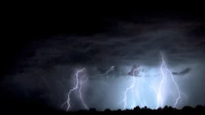
IPMA’s Jorge Ponte tells Lusa a “line of instability, with convection” hit the region coming from the central interior region. It brought hail, thunderstorms and heavy rain, with rainfall reaching 13 millimetres in one hour in the municipality.
“We know that these types of instability lines sometimes produce strong wind phenomena. There were some ingredients that indicated this instability,” he said. He added that although Doppler radar (measures location and velocity of objects) coverage is unavailable in the region because the Arouca radar is more than 100 kilometres away, available images and videos suggest a tornado was the most likely scenario.
Meteorologists have yet to determine the tornado’s intensity, but Ponte says it was likely not “extremely strong.” It could have an EF1 or EF1.5 classification, with winds between 100 and 150 kilometres per hour (km/h) or higher.
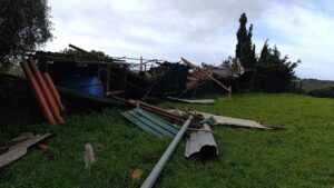
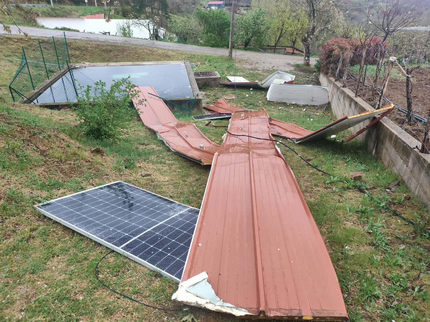
An extreme wind phenomenon at 4:00 p.m. on Tuesday lifted roof tiles from houses and warehouses, and solar panels in Mofreita village, Vinhais. The wind broke trees and uprooted old chestnut trees.
Vinhais mayor believes damages range between €130,000 – €150,000.
Science cannot yet determine exactly “where, when or if” such events occur. Ponte explains that meteorological analysis shows “if certain ingredients favour or increase the probability of such a phenomenon in a certain area at a certain time.”
He said some of these ingredients were present in Vinhais.
A tornado can range from EF0, with 90 km/h winds, to EF5, exceeding 300 km/h.
This week has been marked by an unusual variation in temperatures, too – with areas of the north experiencing up to 30ºC, while the Algarve has been positively ‘brisk’ with temperatures not even reaching 20ºC.
Source material: LUSA/ Facebook